Submitted by niaregion3 on

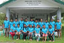
The field validation for the Enhanced Farmland Geographic Information System was conducted to update the Parcellary Map and farmer's master list of the AMRIS - Pampanga Area which was organized by BANE IMO through the help of the 46 IA's under the Pampanga Area. This activity aims to provide a digitized Parcellary Map of Angat-Maasim River Irrigation System (AMRIS) – Pampanga Area, location of NIA structures digitally; updated registry of farmers and database eliminating redundant or duplicated information, and information system that will help the farming activity and support the Free Irrigation Service Act. #TuloyAngDaloyNIA


