
Submitted by niaregion3 on
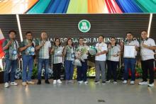
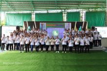
The National Irrigation Administration, in coordination with the University of the Philippines Los Banos Foundation Incorporated, conducted a 3-day seminar on the Capacity Building on Geodatabase Establishment and Management Relative to the National Irrigation Master Plan. The seminar was held at the NIA Region III Farmers Training Center last February 26-28, 2020 and was attended by NIA employees from the different Regions and Projects. It was also graced by Engr. Rogelia Dela Torre of CORPLAN, Engr. Isidora Camaya of MID, and Engr. Eden Garcia of PBMES-CMD.
The seminar was conducted for the participants to understand the principles on fundamental workflows for the NIA geodatabase establishment and management and to adopt technology in performing Unmanned Aerial Survey (UAS) and image processing.
The participants together with the UPLBFI Consultants went to Brgy. Pinac-Pinancan, San Rafael, Bulacan for a flight mission. They used drones to capture images that were used on their hands-on activities later on.
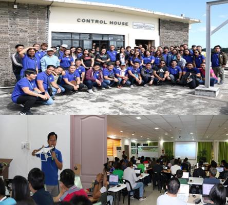
The 3-day seminar tackled the topics on the use of Agisoft Metashape, application of GIS and Remote Sensing to agriculture, and Spatial data handling. There was also a demonstration conducted about the ARC Map™ that was used by the participants afterwards.
On the last day, participants went to the longest rubber dam in Asia known as Angat Afterbay Regulatory Dam or Bustos Dam which is located at Brgy. Tibagan, Bustos, Bulacan. NIA Region III staff toured the participants at the control house of the Dam and discussed the brief history and background of it.
For the Closing program, certificates and tokens were given to the UPLB-FI Consultants and to the participants as well.
The seminar aimed to develop learnings among the participants about the modern technology and ways that may help them to cater the needs of irrigation for the Filipino farmers nowadays.
By: John Wilson S. Austria